Explore stories of how data, science, and location are used to better understand, model, and manage one of Earth’s primary resources: water. At a time when extreme weather events are becoming more frequent and costly, this book demonstrates how innovations in flood forecasting are reshaping our ability to react-specifically, how geographic thinking enhances water science and creates understanding.
From the development of the US National Water Model to AI-driven real-time flood mapping, disparate layers of georeferenced environmental, demographic, and scientific data can be merged and made meaningful. Scientists, emergency responders, communities, and private citizens rely on this information to anticipate floods, manage drought, and make decisions that can save lives.
This book is part of a new collection based on core geomethods first established in Jack Dangermond's book, The Power of Where. Each chapter focuses on a single spatial methodology, or geomethod: geodata, geovisualization, geocommunication, geocollaboration, geoanalysis, geoaccounting, geoAI, and geodesign.
Explore water data and forecasting
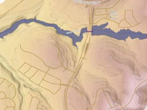
Explore a watershed
Delineate the Bear Creek Watershed and visualize it in 2D and 3D.
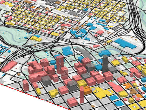
Set up a flood simulation
Prepare land cover and impervious surface data to simulate a flood in ArcGIS Pro.
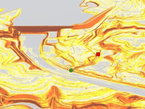
Simulate a flood
Perform a flood simulation in ArcGIS Pro and assess the potential impacts to infrastructure
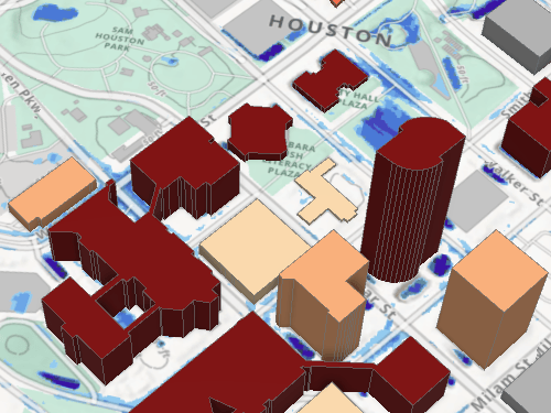
Explore flooding in a watershed
Learn how to generate flood inundation maps by implementing the Height Above Nearest Drainage (HAND) methodology.
Explore maps from the book
What is GIS?
Discover what GIS is, how it's used, how it works, and who uses it to solve problems, drive efficiencies, open communications channels, and advance science.
What is ArcGIS?
Discover ArcGIS technology, it's capabilities, what's included, and how it's being used to make smarter decisions and more efficient organizations.
Training classes
Whether you're brand-new to ArcGIS or a seasoned GIS professional who whats to master the latest technology, we have training resources to help you achieve your goals.
Esri Press books
Explore the collection of books that teach the applications of ArcGIS.