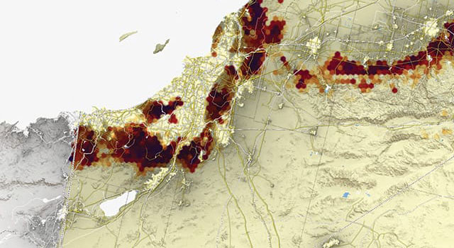
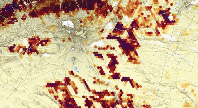
Questions are innate to who we are, but we must ask the right questions if we hope to learn anything of value. Geoanalysis begins by posing the right questions of geography and using geospatial tools to draw insights from data. The use of GIS and spatial analysis, for example, can show us the best location for a new coffeehouse, predict whale migration routes, and estimate sales potential.
Discover the Geographic Approach

Interact with chapter maps
Open this storymap and explore chapter maps in the embedded instant atlas app.

Grow your GIS knowledge
Try hands-on real-world scenario-based tutorials that expand your knowledge of GIS and introduce you to ArcGIS.
Explore more chapter maps
What is GIS?
Discover what GIS is, how it's used, how it works, and who uses it to solve problems, drive efficiencies, open communications channels, and advance science.
What is ArcGIS?
Discover ArcGIS technology, it's capabilities, what's included, and how it's being used to make smarter decisions and more efficient organizations.
Training classes
Whether you're brand-new to ArcGIS or a seasoned GIS professional who whats to master the latest technology, we have training resources to help you achieve your goals.
Esri Press books
Explore the collection of books that teach the applications of ArcGIS.