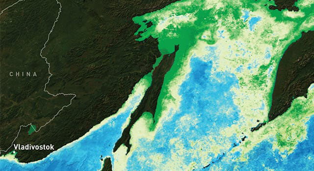
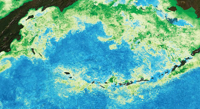
The aggregated abstraction of the physical world is geodata, a type of digital information that allows us to model reality and forecast the future. In GIS, we collect geodata through an array of sensors, from satellites and drones to submersibles and smartphones, with their data stored in vast repositories for analysis and mapping.
Discover the Geographic Approach

Interact with chapter maps
Open this storymap and explore chapter maps in the embedded instant atlas app.

Grow your GIS knowledge
Try hands-on real-world scenario-based tutorials that expand your knowledge of GIS and introduce you to ArcGIS.
Explore more chapter maps
What is GIS?
Discover what GIS is, how it's used, how it works, and who uses it to solve problems, drive efficiencies, open communications channels, and advance science.
What is ArcGIS?
Discover ArcGIS technology, it's capabilities, what's included, and how it's being used to make smarter decisions and more efficient organizations.
Training classes
Whether you're brand-new to ArcGIS or a seasoned GIS professional who whats to master the latest technology, we have training resources to help you achieve your goals.
Esri Press books
Explore the collection of books that teach the applications of ArcGIS.