If you've never heard of geographic information systems (GIS) or you think you know what GIS is, you might be surprised to learn how far it has advanced and what problems it helps solve.
From the Ring of Fire to the Fertile Crescent, The Power of Where shows through its maps and stories how a growing GIS community is facing down humanity’s big problems. At its core is the geographic approach—a way of solving problems that uses spatial location to perceive and understand patterns—from wildlife migration and rising seas to urban planning and food production. Its message arises from a deep human sense of place and conviction that this collaborative approach can help us confront climate change, hunger, water scarcity, inequity, biodiversity loss, and issues large and small in our everyday lives.
Discover the Power of Where
Use this website to explore examples from the book, complete real-world scenario exercises to increase your understanding of GIS, and discover fun and interactive ways to use the book in a classroom.
What is the Geographic Approach?
Climate change, social conflict, water crises, and wildfires are all part of the mix when it comes to taking the geographic approach, but so are local questions such as where to route a highway that preserves the community fabric or where to add Wi-Fi so that it serves everyone fairly. For this geospatial journey, the seven geos of GIS will show us the way.
Discover Chapter 1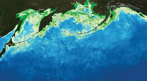
What is Geodata?
The aggregated abstraction of the physical world is geodata, a type of digital information that allows us to model reality and forecast the future. In GIS, we collect geodata through an array of sensors, from satellites and drones to submersibles and smartphones, with their data stored in vast repositories for analysis and mapping.
Discover Chapter 2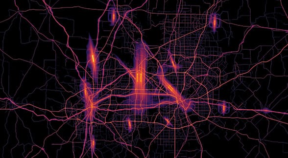
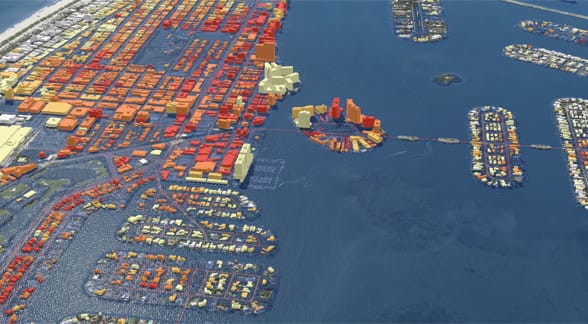
What is Geovisualization?
Emerging from the fields of cartography, computer science, statistics, and analysis, geovisualization helps us understand and share spatial data and create pathways toward a viable future. Charts, graphs, GIS tools, and 3D interactive maps bring data to life, complementing traditional print cartography in the digital era.
Discover Chapter 3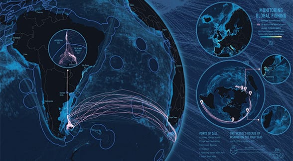
What is Geocommunication?
Geocommunication allows us to present and share data through maps and stories that move us to action. On a small stage, it can show us the need for a new crosswalk on a busy street. On a large stage, it can show how our activities have changed the planet and suggest alternatives to restore its health.
Discover Chapter 4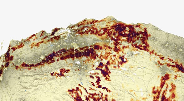
What is Geoanalysis?
Questions are innate to who we are, but we must ask the right questions if we hope to learn anything of value. Geoanalysis begins by posing the right questions of geography and using geospatial tools to draw insights from data. The use of GIS and spatial analysis, for example, can show us the best location for a new coffeehouse, predict whale migration routes, and estimate sales potential.
Discover Chapter 5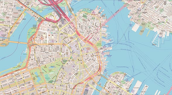
What is Geocollaboration?
Geocollaboration blends technology, data, analytics, and visualization with the spirit of human cooperation. Central to any collaborative effort are people sharing unique skills, geospatial data, and GIS tools to create more informed outcomes backed by the rigors of scientific study in areas ranging from ocean health and racial equity to education and humanitarian aid.
Discover Chapter 6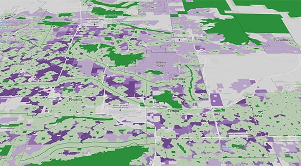
What is Geoaccounting?
Geoaccounting is the process of observing, integrating, recording, and reporting a broad set of measurements about geographic locations and realms. Its GIS-driven reporting integrates thematic layers with online maps under the mantra, “You can’t manage or improve what you don’t measure.”
Discover Chapter 7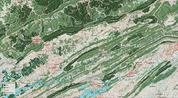
What is Geodesign?
Geodesign brings technology, workflow, art, and a quest for answers beyond assumptions together with planning, design, GIS, and creativity. The idea is to iterate proposed scenarios through spatial analysis and evaluate the implications of one design over another to create a healthier, more sustainable Earth for all living things.
Discover Chapter 8